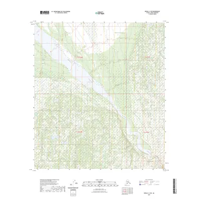
2023 Map of Denali C-3 SW
USGS Topo · Published 2023About this map
McKinley River winds through this interior landscape, defining the hydrology of the western reaches of Denali National Park. The survey illustrates the expansive wetlands and braided river systems characteristic of the Alaskan interior, showing the natural drainage patterns before they transition into higher elevations. This specific quadrangle serves as a detailed record of the park's wilderness boundaries and the complex, shifting course of the river. The lack of modern road infrastructure or permanent settlements underscores the protected, primitive state of the land under federal management. Researchers can trace the exact section and township lines, such as t15s r20w and t16s r19w, which delineate the vast public land survey system within the park's interior.
Find a feature on this map
6 named features on this map. Tap any name to fly to it.
Don’t see what you’re looking for? This feature index may not catch every label — zoom into the map to look around manually.
Map Details
Editions of this 2023 Denali C-3 SW Map
This is the sole edition of this map. No revisions or reprints were ever made.
Other maps of this area

1952 · Mount McKinley
USGS Topo · 1:250,000

1952 · Mount McKinley C-3
USGS Topo · 1:63,360

1953 · Mount McKinley B-4
USGS Topo · 1:63,360

1953 · Mount McKinley B-3
USGS Topo · 1:63,360

1953 · Mount McKinley C-4
USGS Topo · 1:63,360

1954 · Mount McKinley C-4
USGS Topo · 1:63,360

1954 · Mount McKinley B-3
USGS Topo · 1:63,360

1958 · Mount McKinley
USGS Topo · 1:250,000

1969 · Mount McKinley
USGS Topo · 1:250,000
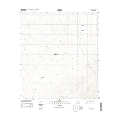
2015 · Denali C-3 SE
USGS Topo · 1:25,000