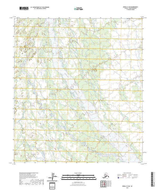
2023 Map of Denali C-4 NE
USGS Topo · Published 2023About this map
Denali National Park encompasses this entire interior landscape, where the wide, braided corridor of the McKinley River serves as the dominant geographical force. Flowing northward through the center of the sheet, the river's expansive gravel bars and shifting channels demonstrate the dynamic nature of Alaskan glacial runoff. This high-latitude environment is further defined by Slippery Creek, which meanders through the western portion of the quadrangle before its eventual confluence with the larger river system. The map documents a portion of the vast wilderness preserved within the park, illustrating the complex drainage patterns and wetland systems that characterize the region. Without roads or permanent settlements, the terrain remains defined entirely by its hydrography and the administrative boundaries of the national park system.
Find a feature on this map
12 named features on this map. Tap any name to fly to it.
Don’t see what you’re looking for? This feature index may not catch every label — zoom into the map to look around manually.
Map Details
Editions of this 2023 Denali C-4 NE Map
This is the sole edition of this map. No revisions or reprints were ever made.
Other maps of this area

1952 · Mount McKinley
USGS Topo · 1:250,000

1952 · Mount McKinley C-3
USGS Topo · 1:63,360

1952 · Mount McKinley D-3
USGS Topo · 1:63,360

1953 · Mount McKinley C-4
USGS Topo · 1:63,360

1953 · Mount McKinley D-4
USGS Topo · 1:63,360

1954 · Mount McKinley C-4
USGS Topo · 1:63,360

1954 · Mount McKinley D-4
USGS Topo · 1:63,360

1958 · Mount McKinley
USGS Topo · 1:250,000

1969 · Mount McKinley
USGS Topo · 1:250,000
2015 · Denali C-4 NE
USGS Topo · 1:25,000