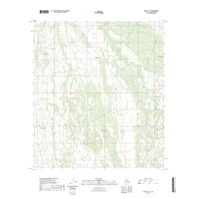
2023 Map of Denali C-4 SE
USGS Topo · Published 2023About this map
Denali National Park encompasses the vast majority of this interior landscape, where the braided channels of the McKinley River cut through the northeastern corner. This high-latitude terrain is defined by its complex drainage systems, most notably the winding course of Slippery Creek, which meanders across several township boundaries including t15s r21w and t16s r21w. The map illustrates a wilderness largely devoid of modern infrastructure, preserving the natural hydrological patterns of the Alaskan interior as they were documented in the early twenty-first century. This survey is particularly useful for understanding the hydrography of the park's northern reaches, showing how seasonal meltwater from the Alaska Range likely feeds these named water bodies.
Find a feature on this map
9 named features on this map. Tap any name to fly to it.
Don’t see what you’re looking for? This feature index may not catch every label — zoom into the map to look around manually.
Map Details
Editions of this 2023 Denali C-4 SE Map
This is the sole edition of this map. No revisions or reprints were ever made.
Other maps of this area

1952 · Mount McKinley
USGS Topo · 1:250,000

1952 · Mount McKinley C-3
USGS Topo · 1:63,360

1953 · Mount McKinley B-4
USGS Topo · 1:63,360

1953 · Mount McKinley B-3
USGS Topo · 1:63,360

1953 · Mount McKinley C-4
USGS Topo · 1:63,360

1954 · Mount McKinley C-4
USGS Topo · 1:63,360

1954 · Mount McKinley B-3
USGS Topo · 1:63,360

1958 · Mount McKinley
USGS Topo · 1:250,000

1969 · Mount McKinley
USGS Topo · 1:250,000
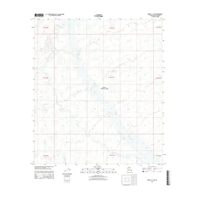
2015 · Denali C-4 NE
USGS Topo · 1:25,000