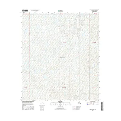
2016 Map of Denali D-2 NW
USGS Topo · Published 2016About this map
Denali National Park encompasses the majority of this landscape, where a complex network of waterways defines the interior wilderness. The Bearpaw River meanders through the central terrain, joined by numerous tributaries including Bear Cr, Flume Cr, and Otter Cr. This 2016 survey illustrates the intricate drainage patterns and expansive wetlands characteristic of the northern interior region before it meets higher elevations. To the southwest, Moose Cr cuts across the township lines, marking a landscape largely devoid of modern infrastructure or roads. The map serves as a precise record of the hydrological features and public land survey boundaries within the protected park boundaries during the early 21st century.
Find a feature on this map
15 named features on this map. Tap any name to fly to it.
Don’t see what you’re looking for? This feature index may not catch every label — zoom into the map to look around manually.
Map Details
Editions of this 2016 Denali D-2 NW Map
This is the sole edition of this map. No revisions or reprints were ever made.
Other maps of this area

1948 · Kantishna River
USGS Topo · 1:250,000

1951 · Kantishna River
USGS Topo · 1:250,000

1952 · Mount McKinley
USGS Topo · 1:250,000

1952 · Kantishna River A-3
USGS Topo · 1:63,360

1952 · Kantishna River
USGS Topo · 1:250,000

1952 · Kantishna River A-2
USGS Topo · 1:63,360

1952 · Mount McKinley D-3
USGS Topo · 1:63,360

1953 · Kantishna River A-3
USGS Topo · 1:63,360

1954 · Mount McKinley D-2
USGS Topo · 1:63,360

1958 · Mount McKinley
USGS Topo · 1:250,000