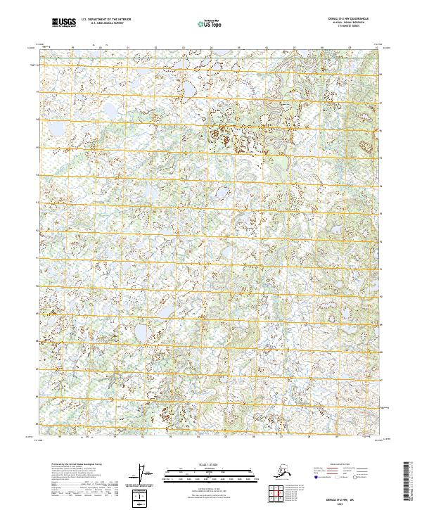
2023 Map of Denali D-2 NW
USGS Topo · Published 2023About this map
Denali National Park encompasses the vast majority of this subarctic landscape, where a dense network of braided waterways and wetlands defines the terrain. The Bearpaw River meanders through the central and eastern sections, joined by significant tributaries including Bear Creek, Flume Creek, and Otter Creek. These watercourses flow through a complex system of marshes and small ponds, illustrating the intricate drainage patterns of the Alaskan interior. This 2023 U.S. Geological Survey representation provides a clear view of the wilderness before any significant human infrastructure or road networks have reached this portion of the park. The map serves as a primary record of the hydrography in this undeveloped region, capturing the seasonal shifts and land divisions across townships like t11s r17w.
Find a feature on this map
13 named features on this map. Tap any name to fly to it.
Don’t see what you’re looking for? This feature index may not catch every label — zoom into the map to look around manually.
Map Details
Editions of this 2023 Denali D-2 NW Map
This is the sole edition of this map. No revisions or reprints were ever made.
Other maps of this area

1948 · Kantishna River
USGS Topo · 1:250,000

1951 · Kantishna River
USGS Topo · 1:250,000

1952 · Mount McKinley
USGS Topo · 1:250,000

1952 · Kantishna River A-3
USGS Topo · 1:63,360

1952 · Kantishna River
USGS Topo · 1:250,000

1952 · Kantishna River A-2
USGS Topo · 1:63,360

1952 · Mount McKinley D-3
USGS Topo · 1:63,360

1953 · Kantishna River A-3
USGS Topo · 1:63,360

1954 · Mount McKinley D-2
USGS Topo · 1:63,360

1958 · Mount McKinley
USGS Topo · 1:250,000