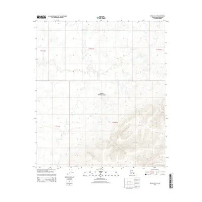
2015 Map of Denali D-2 SW
USGS Topo · Published 2015About this map
Denali National Park encompasses the southern half of this landscape, where high elevations and complex drainage systems define the Alaskan interior. The Bearpaw River meanders across the central and western sections, joined by tributaries like Moose Cr as it flows through the varied terrain of the Denali-Denali Borough. To the northeast, Otter Cr drains the high country near the boundary of T12S R16W. This survey highlights the intersection of public land survey systems, including t13s r17w and t13s r18w, across a region of intense elevation changes and seasonal watercourses. The transition from the lower river valleys to the steep slopes in the southeast provides a clear view of the wilderness character preserved within the park system during this mid-2010s study.
Find a feature on this map
9 named features on this map. Tap any name to fly to it.
Don’t see what you’re looking for? This feature index may not catch every label — zoom into the map to look around manually.
Map Details
Editions of this 2015 Denali D-2 SW Map
This is the sole edition of this map. No revisions or reprints were ever made.
Other maps of this area

1952 · Mount McKinley
USGS Topo · 1:250,000

1952 · Mount McKinley C-3
USGS Topo · 1:63,360

1952 · Mount McKinley C-2
USGS Topo · 1:63,360

1952 · Mount McKinley D-3
USGS Topo · 1:63,360

1954 · Mount McKinley D-2
USGS Topo · 1:63,360

1954 · Mount McKinley C-2
USGS Topo · 1:63,360

1958 · Mount McKinley
USGS Topo · 1:250,000

1969 · Mount McKinley
USGS Topo · 1:250,000
2015 · Denali D-2 SE
USGS Topo · 1:25,000
2015 · Denali D-3 SE
USGS Topo · 1:25,000