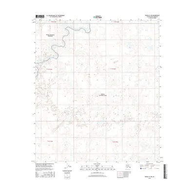
2016 Map of Denali D-3 NE
USGS Topo · Published 2016About this map
Kantishna River meanders through the northwest corner of this sub-arctic landscape, defining a complex hydrology of oxbows and wetlands. This 2016 survey illustrates the administrative interface of protected lands in interior Alaska, where the Denali National Preserve meets the northern reaches of Denali National Park. The terrain is characterized by a dense network of ponds and small water bodies, with Bear Cr draining the eastern edge. The map provides a precise look at the township and range divisions, such as t11s r19w, within a vast area largely devoid of modern road infrastructure, emphasizing the preservation of the natural river system and the wilderness character of the Alaska-Denali Borough.
Find a feature on this map
10 named features on this map. Tap any name to fly to it.
Don’t see what you’re looking for? This feature index may not catch every label — zoom into the map to look around manually.
Map Details
Editions of this 2016 Denali D-3 NE Map
This is the sole edition of this map. No revisions or reprints were ever made.
Other maps of this area

1948 · Kantishna River
USGS Topo · 1:250,000

1951 · Kantishna River
USGS Topo · 1:250,000

1952 · Mount McKinley
USGS Topo · 1:250,000

1952 · Kantishna River A-3
USGS Topo · 1:63,360

1952 · Kantishna River
USGS Topo · 1:250,000

1952 · Kantishna River A-2
USGS Topo · 1:63,360

1952 · Mount McKinley D-3
USGS Topo · 1:63,360

1953 · Kantishna River A-3
USGS Topo · 1:63,360

1954 · Mount McKinley D-2
USGS Topo · 1:63,360

1958 · Mount McKinley
USGS Topo · 1:250,000