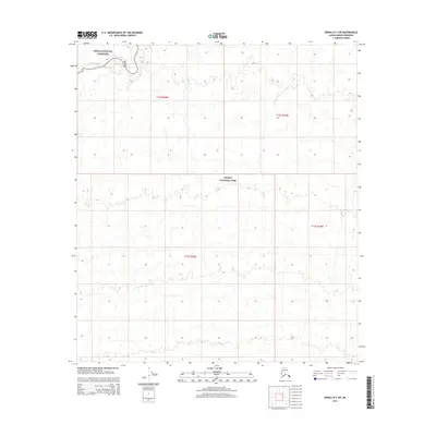
2015 Map of Denali D-3 SW
USGS Topo · Published 2015About this map
The Kantishna River meanders through the northwest corner of this sub-quadrangle, representing the primary waterway in a landscape dominated by federally protected wilderness. This 2015 survey reveals the transition between the Denali National Preserve and the Denali National Park, highlighting a remote interior Alaskan environment where natural drainage patterns and elevation contours define the land rather than human infrastructure. The presence of these specific administrative boundaries reflects a twentieth-century shift toward large-scale conservation in the Denali borough. Researchers and historians can observe the survey lines for t12s r20w and t13s r19w, which provide the underlying legal framework for this expansive territory. The map is a study in preservation, showing a region where the original terrain remains largely undisturbed by modern development.
Find a feature on this map
7 named features on this map. Tap any name to fly to it.
Don’t see what you’re looking for? This feature index may not catch every label — zoom into the map to look around manually.
Map Details
Editions of this 2015 Denali D-3 SW Map
This is the sole edition of this map. No revisions or reprints were ever made.
Other maps of this area

1952 · Mount McKinley
USGS Topo · 1:250,000

1952 · Mount McKinley C-3
USGS Topo · 1:63,360

1952 · Mount McKinley D-3
USGS Topo · 1:63,360

1953 · Mount McKinley C-4
USGS Topo · 1:63,360

1953 · Mount McKinley D-4
USGS Topo · 1:63,360

1954 · Mount McKinley C-4
USGS Topo · 1:63,360

1954 · Mount McKinley D-4
USGS Topo · 1:63,360

1958 · Mount McKinley
USGS Topo · 1:250,000

1969 · Mount McKinley
USGS Topo · 1:250,000
2015 · Denali C-4 NE
USGS Topo · 1:25,000