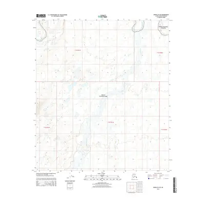
2015 Map of Denali D-4 SE
USGS Topo · Published 2015About this map
Denali National Park and the Denali National Preserve meet in this 2015 survey of the subarctic interior. The landscape is defined by the shifting braids of the McKinley River, which flows through the center of the quadrangle, and the Kantishna River to the northeast. This map captures the intricate hydrography of the region, where numerous unnamed ponds and glacial meltwater channels intersect with established watercourses like Birch Creek. The Public Land Survey System grid, including t13s r21w, overlays a wilderness largely devoid of modern infrastructure or permanent settlements. This 2015 edition provides a precise record of the river channels and boundary lines within the national park system during the early 21st century.
Find a feature on this map
10 named features on this map. Tap any name to fly to it.
Don’t see what you’re looking for? This feature index may not catch every label — zoom into the map to look around manually.
Map Details
Editions of this 2015 Denali D-4 SE Map
This is the sole edition of this map. No revisions or reprints were ever made.
Other maps of this area

1952 · Mount McKinley
USGS Topo · 1:250,000

1952 · Mount McKinley C-3
USGS Topo · 1:63,360

1952 · Mount McKinley D-3
USGS Topo · 1:63,360

1953 · Mount McKinley C-4
USGS Topo · 1:63,360

1953 · Mount McKinley D-4
USGS Topo · 1:63,360

1954 · Mount McKinley C-4
USGS Topo · 1:63,360

1954 · Mount McKinley D-4
USGS Topo · 1:63,360

1958 · Mount McKinley
USGS Topo · 1:250,000

1969 · Mount McKinley
USGS Topo · 1:250,000
2015 · Denali C-4 NE
USGS Topo · 1:25,000