2017 Map of Denbigh
USGS Topo · Published 2017About this map
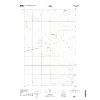
Denbigh serves as the central settlement point of this northern plains landscape, situated north of the Sand Hills Rd corridor. The terrain is defined by a complex network of wetland depressions and water bodies, most notably the Souris River which winds through the southeastern corner and Spring Lake located just west of the main town site. The map reflects a highly structured rural survey system, with north-south routes like Center Ave N and Center Ln intersecting an extensive grid of east-west township roads ranging from 66th St N down to 58th St N. This 2017 edition documents the persisting agricultural and ranching layout of McHenry County, where the low-lying drainage patterns of the Souris River basin continue to shape local travel and land use.
Find a feature on this map
29 named features on this map. Tap any name to fly to it.
Don’t see what you’re looking for? This feature index may not catch every label — zoom into the map to look around manually.
Map Details
Editions of this 2017 Denbigh Map
This is the sole edition of this map. No revisions or reprints were ever made.
Other maps of this area

1949 · Riga
USGS Topo · 1:24,000

1949 · Karlsruhe NW
USGS Topo · 1:24,000

1949 · Denbigh
USGS Topo · 1:24,000

1949 · Bantry
USGS Topo · 1:24,000

1950 · Karlsruhe NE
USGS Topo · 1:24,000

1950 · Towner NW
USGS Topo · 1:24,000

1950 · Towner
USGS Topo · 1:24,000

1950 · Denbigh
USGS Topo · 1:24,000

1950 · Bantry NW
USGS Topo · 1:24,000

1950 · Bantry
USGS Topo · 1:24,000