
1962 Map of Denham
USGS Topo · Published 1964About this map
The unincorporated settlement of Denham serves as a central point in this northern Indiana landscape, where a sophisticated web of mid-century rail lines converges across the flat agricultural terrain of Starke and Pulaski counties. During this era, major carriers including the Pennsylvania, Erie-Lackawanna, New York Central, and Chesapeake and Ohio railroads carved distinct corridors through the region, supporting the local agricultural economy and connecting rural communities like Aldine to wider industrial networks.
Find a feature on this map
32 named features on this map. Tap any name to fly to it.
Don’t see what you’re looking for? This feature index may not catch every label — zoom into the map to look around manually.
Map Details
Editions of this 1962 Denham Map
This is the sole edition of this map. No revisions or reprints were ever made.
Other maps of this area

1953 · Chicago
USGS Topo · 1:250,000

1957 · Chicago
USGS Topo · 1:250,000

1957 · Knox East
USGS Topo · 1:24,000

1957 · Knox West
USGS Topo · 1:24,000

1959 · English Lake
USGS Topo · 1:24,000

1959 · North Judson
USGS Topo · 1:24,000

1962 · Winamac
USGS Topo · 1:24,000
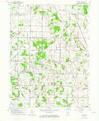
1962 · Ripley
USGS Topo · 1:24,000

1962 · Bass Lake
USGS Topo · 1:24,000
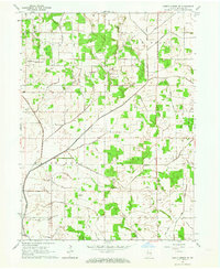
1962 · North Judson SE
USGS Topo · 1:24,000