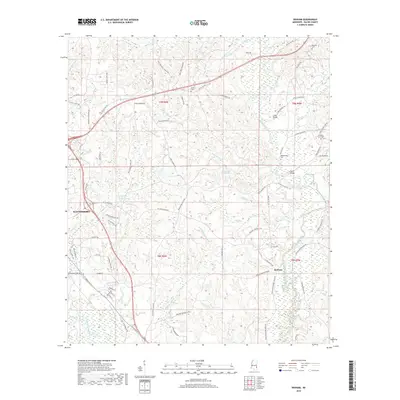
2018 Map of Denham
USGS Topo · Published 2018About this map
Waynesboro serves as the western anchor of this landscape, where the terrain slopes toward the Buckatunna River and its intricate network of tributaries. The settlement pattern in this part of Wayne County is defined by family-named roads and landmarks, reflecting a deep-rooted community history along the waters of Limestone Cr and Meadows Mill Cr. Rural life is centered around several historic burial grounds, including Philadelphus Cem, Eudora Cem, and Pleasant Grove Cem, which are scattered among the timbered hills.
Find a feature on this map
77 named features on this map. Tap any name to fly to it.
Don’t see what you’re looking for? This feature index may not catch every label — zoom into the map to look around manually.
Map Details
Editions of this 2018 Denham Map
This is the sole edition of this map. No revisions or reprints were ever made.
Other maps of this area

1953 · Hattiesburg
USGS Topo · 1:250,000

1958 · Hattiesburg
USGS Topo · 1:250,000

1964 · Denham
USGS Topo · 1:24,000

1964 · Clara
USGS Topo · 1:24,000

1964 · Waynesboro
USGS Topo · 1:24,000

1964 · Shubuta
USGS Topo · 1:24,000

1964 · Buckatunna
USGS Topo · 1:24,000

1964 · Matherville
USGS Topo · 1:24,000

1974 · Copeland
USGS Topo · 1:24,000

1974 · Isney
USGS Topo · 1:24,000