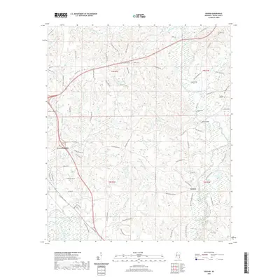
2020 Map of Denham
USGS Topo · Published 2020About this map
Waynesboro serves as the primary hub in this Wayne County landscape, where the town's eastern edge meets a complex network of creeks and rural routes. The terrain is defined by the winding course of Buckatunna Creek and its many tributaries, including Meadows Mill Cr and Coldwater Cr. This 2020 survey reveals a countryside punctuated by small, historically significant sites such as the Philadelphus Cem and Pleasant Grove Cem, which suggest long-standing community roots. Settlement patterns follow older thoroughfares like Old US Hwy 84 and the Old 45 Winchester Rd, connecting the larger center of Waynesboro to the smaller community of Denham. The inclusion of Waynesboro Lake and numerous named bridges, such as the one along Dyess Bridge Rd, highlights the importance of water management and local transit in this part of Mississippi.
Find a feature on this map
75 named features on this map. Tap any name to fly to it.
Don’t see what you’re looking for? This feature index may not catch every label — zoom into the map to look around manually.
Map Details
Editions of this 2020 Denham Map
This is the sole edition of this map. No revisions or reprints were ever made.
Other maps of this area

1953 · Hattiesburg
USGS Topo · 1:250,000

1958 · Hattiesburg
USGS Topo · 1:250,000

1964 · Denham
USGS Topo · 1:24,000

1964 · Clara
USGS Topo · 1:24,000

1964 · Waynesboro
USGS Topo · 1:24,000

1964 · Shubuta
USGS Topo · 1:24,000

1964 · Buckatunna
USGS Topo · 1:24,000

1964 · Matherville
USGS Topo · 1:24,000

1974 · Copeland
USGS Topo · 1:24,000

1974 · Isney
USGS Topo · 1:24,000