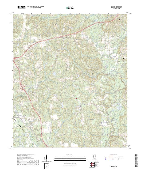
2024 Map of Denham
USGS Topo · Published 2024About this map
Waynesboro serves as a primary reference point in the western portion of this landscape, where the Chickasawhay River and Patton Creek define the low-lying drainage patterns. The terrain is characterized by a dense network of watercourses, including Buckatunna Creek and its many tributaries like Alexanders Branch and Big Branch, which carve through the rural countryside east of the river. This modern survey reflects the enduring spatial organization of Wayne County, where long-established family names are preserved in the road network, such as Jimmy Ramey Rd, Buford Gandy Rd, and John Pettis.
Find a feature on this map
80 named features on this map. Tap any name to fly to it.
Don’t see what you’re looking for? This feature index may not catch every label — zoom into the map to look around manually.
Map Details
Editions of this 2024 Denham Map
This is the sole edition of this map. No revisions or reprints were ever made.
Other maps of this area

1953 · Hattiesburg
USGS Topo · 1:250,000

1958 · Hattiesburg
USGS Topo · 1:250,000

1964 · Denham
USGS Topo · 1:24,000

1964 · Clara
USGS Topo · 1:24,000

1964 · Waynesboro
USGS Topo · 1:24,000

1964 · Shubuta
USGS Topo · 1:24,000

1964 · Buckatunna
USGS Topo · 1:24,000

1964 · Matherville
USGS Topo · 1:24,000

1974 · Copeland
USGS Topo · 1:24,000

1974 · Isney
USGS Topo · 1:24,000