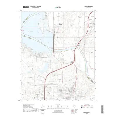
2019 Map of Denison Dam
USGS Topo · Published 2019About this map
Denison serves as the focal point for this borderland geography where the Red River divides Texas and Oklahoma. The landscape is dominated by the massive Denison Dam, which holds back the waters of Lake Texoma and reshapes the hydrologic character of the region. This modern survey illustrates the complex transportation infrastructure surrounding the river crossing, including the heavy rail presence at Warner Junction and Ray. While the urban grid of northern Grayson County is prominent, the map also identifies critical local history landmarks, including the sprawling grounds of Oakwood Cem and Fairview Cem. To the north in Oklahoma, smaller settlements like Colbert and Cartwright maintain their proximity to the water, while several family and memorial cemeteries like Yarbrough Cem and Garden of Memory Cem provide essential data points for local genealogists tracing the evolution of these border communities.
Find a feature on this map
91 named features on this map. Tap any name to fly to it.
Don’t see what you’re looking for? This feature index may not catch every label — zoom into the map to look around manually.
Map Details
Editions of this 2019 Denison Dam Map
This is the sole edition of this map. No revisions or reprints were ever made.
Other maps of this area

1901 · Denison
USGS Topo · 1:125,000

1954 · Sherman
USGS Topo · 1:250,000

1957 · Denison Dam
USGS Topo · 1:24,000

1958 · Durant
USGS Topo · 1:62,500

1958 · Whitesright
USGS Topo · 1:62,500

1958 · Denison Dam
USGS Topo · 1:62,500

1958 · Sherman NW
USGS Topo · 1:24,000

1958 · Sherman
USGS Topo · 1:250,000

1958 · Sherman
USGS Topo · 1:62,500

1958 · Sherman
USGS Topo · 1:24,000