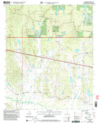
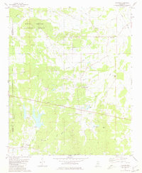
2000 Map of Denmark
USGS Topo · Published 2003About this map
Holly Springs National Forest dominates this section of Lafayette County, where the landscape is defined by a dense network of creek drainages feeding into the Yocona River. The settlement of Denmark serves as a central point, supported by landmarks like the Denmark Lookout Tower and several community hubs including Denmark Ch. The map reveals a rural economy shaped by its waterways, with Kettle Creek, East Kettle Creek, and Little Kettle Creek carving through the wooded terrain.
Find a feature on this map
32 named features on this map. Tap any name to fly to it.
Don’t see what you’re looking for? This feature index may not catch every label — zoom into the map to look around manually.
Map Details
Editions of this 2000 Denmark Map
This is the sole edition of this map. No revisions or reprints were ever made.
Other maps of this area
1942 · Denmark
USGS Topo · 1:62,500
1943 · Denmark
USGS Topo · 1:62,500
1949 · New Albany
USGS Topo · 1:62,500
1951 · New Albany
USGS Topo · 1:62,500

1956 · Tupelo
USGS Topo · 1:250,000

1958 · Tupelo
USGS Topo · 1:250,000
1972 · Paris
USGS Topo · 1:24,000
1972 · Randolph
USGS Topo · 1:24,000
1972 · Tula
USGS Topo · 1:24,000
1980 · Thaxton
USGS Topo · 1:24,000