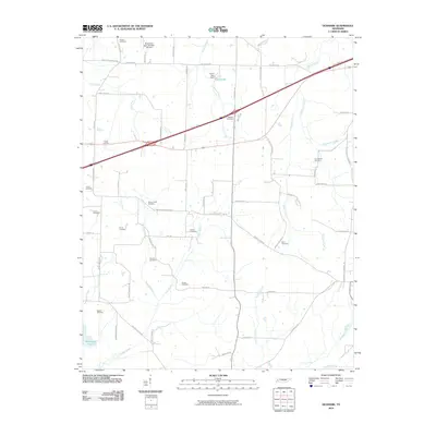
2010 Map of Denmark
USGS Topo · Published 2010About this map
Small family and community burial grounds dot this Tennessee landscape, providing a detailed record for genealogical research in Haywood County. Settlements are largely defined by their proximity to water bodies such as Cane Creek and Cypress Creek, while the road network connects historic homesteads via routes like Wellwood Rd and Denmark Leighton Rd. The map reveals a dense distribution of legacy sites including the Powell Cemetery, Drake Cemetery, and Norvell Cemetery, which stand as markers of long-established family landholdings. To the south, the terrain is shaped by the winding paths of Browns Creek and Turkey Branch, while larger features like Tyson Lake and Brickyard Pond indicate localized water management and historical industry. This survey documents the intersection of rural agriculture and heritage, where named tracks like Batchelor Levee Rd reflect the local topography and historical drainage efforts.
Find a feature on this map
61 named features on this map. Tap any name to fly to it.
Don’t see what you’re looking for? This feature index may not catch every label — zoom into the map to look around manually.
Map Details
Editions of this 2010 Denmark Map
This is the sole edition of this map. No revisions or reprints were ever made.
Other maps of this area

1950 · Sunnyhill
USGS Topo · 1:24,000

1951 · Sunnyhill
USGS Topo · 1:24,000

1956 · Blytheville
USGS Topo · 1:250,000

1959 · Blytheville
USGS Topo · 1:250,000

1959 · Bells
USGS Topo · 1:24,000

1959 · Westover
USGS Topo · 1:24,000

1959 · Denmark
USGS Topo · 1:24,000

1959 · Adair
USGS Topo · 1:24,000

1959 · Hillville
USGS Topo · 1:24,000

1961 · Jones
USGS Topo · 1:24,000