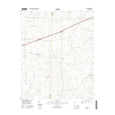
2016 Map of Denmark
USGS Topo · Published 2016About this map
The boundary between Haywood Co and Madison Co bisects this West Tennessee landscape, where the agricultural community of Wellwood serves as a northern anchor. The terrain is defined by a dense network of drainage, including Cypress Creek, Browns Creek, and Cane Creek, alongside family-named landmarks like Tyson Lake and Mud Creek Lake. Small settlements like Leighton and Woodland are connected by a web of local roads such as Duncan Lane and Ebenezer Road, reflecting the rural development patterns of the early 21st century.
Find a feature on this map
56 named features on this map. Tap any name to fly to it.
Don’t see what you’re looking for? This feature index may not catch every label — zoom into the map to look around manually.
Map Details
Editions of this 2016 Denmark Map
This is the sole edition of this map. No revisions or reprints were ever made.
Other maps of this area

1950 · Sunnyhill
USGS Topo · 1:24,000

1951 · Sunnyhill
USGS Topo · 1:24,000

1956 · Blytheville
USGS Topo · 1:250,000

1959 · Blytheville
USGS Topo · 1:250,000

1959 · Bells
USGS Topo · 1:24,000

1959 · Westover
USGS Topo · 1:24,000

1959 · Denmark
USGS Topo · 1:24,000

1959 · Adair
USGS Topo · 1:24,000

1959 · Hillville
USGS Topo · 1:24,000

1961 · Jones
USGS Topo · 1:24,000