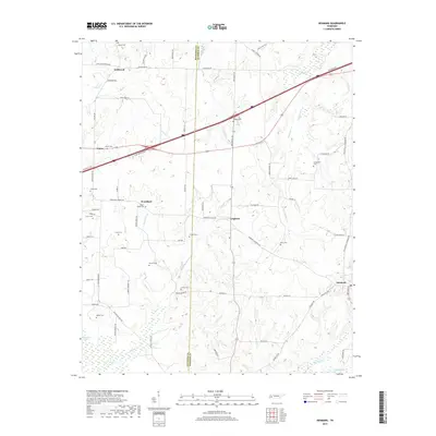
2019 Map of Denmark
USGS Topo · Published 2019About this map
Wellwood and Denmark anchor the northern and eastern edges of this rural landscape where the border of Haywood and Madison Counties divides a patchwork of timber and agriculture. The terrain is defined by a dense network of small family burial grounds and scattered hamlets like Leighton and Woodland. These small communities are linked by an intricate grid of secondary roads, many bearing local family names such as John Allen Gordan Rd and M D Walker Rd.
Find a feature on this map
75 named features on this map. Tap any name to fly to it.
Don’t see what you’re looking for? This feature index may not catch every label — zoom into the map to look around manually.
Map Details
Editions of this 2019 Denmark Map
This is the sole edition of this map. No revisions or reprints were ever made.
Other maps of this area

1950 · Sunnyhill
USGS Topo · 1:24,000

1951 · Sunnyhill
USGS Topo · 1:24,000

1956 · Blytheville
USGS Topo · 1:250,000

1959 · Blytheville
USGS Topo · 1:250,000

1959 · Bells
USGS Topo · 1:24,000

1959 · Westover
USGS Topo · 1:24,000

1959 · Denmark
USGS Topo · 1:24,000

1959 · Adair
USGS Topo · 1:24,000

1959 · Hillville
USGS Topo · 1:24,000

1961 · Jones
USGS Topo · 1:24,000