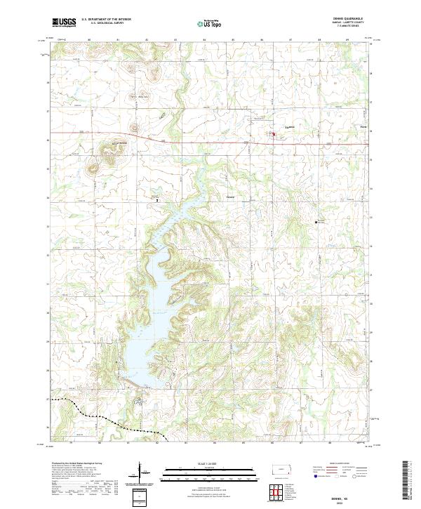
2022 Map of Dennis
USGS Topo · Published 2022About this map
Dennis stands as a primary community in this Labette County landscape, situated amid a grid of rural roads and rolling prairie terrain. The topography is defined by prominent elevations such as Twin Mounds and Bender Mounds, which provide natural landmarks in an area otherwise characterized by agricultural expanses and stream valleys. The southern portion of the sheet is dominated by the waters of Big Hill Lake, created by the impoundment of Big Hill Creek. This reservoir significantly altered the local geography, introducing a large recreational and utility water body where smaller creek branches like Cherry Cr once flowed unimpeded.
Find a feature on this map
46 named features on this map. Tap any name to fly to it.
Don’t see what you’re looking for? This feature index may not catch every label — zoom into the map to look around manually.
Map Details
Editions of this 2022 Dennis Map
This is the sole edition of this map. No revisions or reprints were ever made.
Other maps of this area

1886 · Independence
USGS Topo · 1:125,000

1886 · Parsons
USGS Topo · 1:125,000

1893 · Parsons
USGS Topo · 1:125,000

1894 · Independence
USGS Topo · 1:125,000

1905 · Independence
USGS Topo · 1:125,000

1945 · Parsons
USGS Topo · 1:62,500

1946 · Parsons
USGS Topo · 1:62,500

1946 · Mound Valley
USGS Topo · 1:62,500

1947 · Parsons
USGS Topo · 1:62,500

1947 · Joplin
USGS Topo · 1:250,000