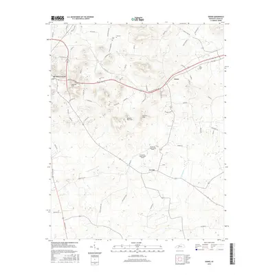
2016 Map of Dennis
USGS Topo · Published 2016About this map
Russellville and the outlying community of Dennis anchor this landscape in Logan County, characterized by a series of prominent peaks and winding creek valleys. The topography is defined by distinctive landmarks such as Sugarloaf Knob, Rainbow Rock Knob, and Buzzard Knob, which rise above the surrounding drainage basins of the Mud River and Little Whippoorwill Cr. Local transport and infrastructure are central to the area, evidenced by the presence of the Russellville-Logan County Airport and a network of named country roads.
Find a feature on this map
68 named features on this map. Tap any name to fly to it.
Don’t see what you’re looking for? This feature index may not catch every label — zoom into the map to look around manually.
Map Details
Editions of this 2016 Dennis Map
This is the sole edition of this map. No revisions or reprints were ever made.
Other maps of this area

1942 · Gallatin
USGS Topo · 1:100,000

1951 · Adairville
USGS Topo · 1:24,000

1951 · Dot
USGS Topo · 1:24,000

1951 · Prices Mill
USGS Topo · 1:24,000

1951 · Auburn
USGS Topo · 1:24,000

1951 · Lewisburg
USGS Topo · 1:24,000

1951 · South Union
USGS Topo · 1:24,000

1951 · Homer
USGS Topo · 1:24,000

1952 · Russellville
USGS Topo · 1:24,000

1952 · Dennis
USGS Topo · 1:24,000