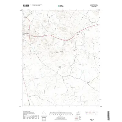
2019 Map of Dennis
USGS Topo · Published 2019About this map
Russellville serves as the western anchor of this Logan County landscape, where the town's edge meets a complex topography of isolated summits like Sugarloaf Knob and Rainbow Rock Knob. The rural areas to the east are defined by the winding course of the Mud River and several distinct smaller communities, including Dennis and Corinth. The map reveals a high density of family-named roads and landmarks, such as Stevenson Mill Rd and Duncan Chapel Rd, which suggest a long-standing agricultural and social structure rooted in the late 19th-century settlement patterns.
Find a feature on this map
74 named features on this map. Tap any name to fly to it.
Don’t see what you’re looking for? This feature index may not catch every label — zoom into the map to look around manually.
Map Details
Editions of this 2019 Dennis Map
This is the sole edition of this map. No revisions or reprints were ever made.
Other maps of this area

1942 · Gallatin
USGS Topo · 1:100,000

1951 · Adairville
USGS Topo · 1:24,000

1951 · Dot
USGS Topo · 1:24,000

1951 · Prices Mill
USGS Topo · 1:24,000

1951 · Auburn
USGS Topo · 1:24,000

1951 · Lewisburg
USGS Topo · 1:24,000

1951 · South Union
USGS Topo · 1:24,000

1951 · Homer
USGS Topo · 1:24,000

1952 · Russellville
USGS Topo · 1:24,000

1952 · Dennis
USGS Topo · 1:24,000