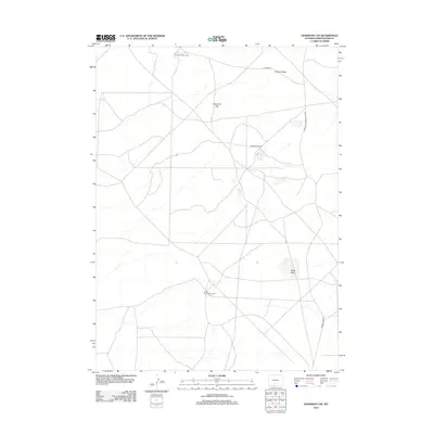
2012 Map of Dennison Cap
USGS Topo · Published 2012About this map
Strandburg Ranch and several specialized livestock camps anchor this high-desert landscape in Sweetwater County. The map documents a sparsely populated but active range economy, characterized by the remote Buzzard Sheep Camp and Circle Bar Sheep Camp. These locations are connected by a network of unimproved roads, including Luman Rd and the significant transit corridor of Wamsutter-Crooks Gap Rd. Rising above the surrounding plateaus, the landmark Dennison Cap and Siberia Ridge provide the primary topographic relief in an area where water is scarce, save for the presence of Black Lake. The distribution of these ranching outposts suggests a late-twentieth-century land use pattern focused on seasonal grazing and high-altitude rangeland management.
Find a feature on this map
9 named features on this map. Tap any name to fly to it.
Don’t see what you’re looking for? This feature index may not catch every label — zoom into the map to look around manually.
Map Details
Editions of this 2012 Dennison Cap Map
This is the sole edition of this map. No revisions or reprints were ever made.
Other maps of this area

1954 · Rawlins
USGS Topo · 1:250,000

1954 · Rock Springs
USGS Topo · 1:250,000

1958 · Rawlins
USGS Topo · 1:250,000

1958 · Rock Springs
USGS Topo · 1:250,000

1960 · Lost Creek Butte
USGS Topo · 1:62,500

1960 · Hansen Lake
USGS Topo · 1:24,000

1962 · Rawlins
USGS Topo · 1:250,000

1962 · Rock Springs
USGS Topo · 1:250,000

1966 · Wamsutter
USGS Topo · 1:24,000

1966 · Monument Lake
USGS Topo · 1:24,000