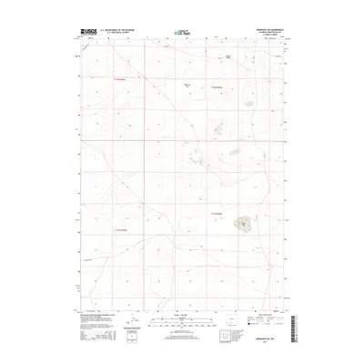
2015 Map of Dennison Cap
USGS Topo · Published 2015About this map
Dennison Cap rises as a prominent landmark in this high-elevation Sweetwater County landscape, where the high desert is defined more by its water sources and ridges than by human settlements. The presence of Twelvemile Hole and Black Lake indicates the critical importance of isolated water points for livestock and wildlife in this arid region. Across the northern reaches, Siberia Ridge runs near the Sweetwater and Carbon county line, intersected by early transport routes including Red Desset Rd. This 2015 survey reflects a topography largely unchanged by modern development, where county roads like Cr-20 and Cr-23 provide the primary access to remote basins and land management corners like Hanson Lk at the northeastern edge.
Find a feature on this map
12 named features on this map. Tap any name to fly to it.
Don’t see what you’re looking for? This feature index may not catch every label — zoom into the map to look around manually.
Map Details
Editions of this 2015 Dennison Cap Map
This is the sole edition of this map. No revisions or reprints were ever made.
Other maps of this area

1954 · Rawlins
USGS Topo · 1:250,000

1954 · Rock Springs
USGS Topo · 1:250,000

1958 · Rawlins
USGS Topo · 1:250,000

1958 · Rock Springs
USGS Topo · 1:250,000

1960 · Lost Creek Butte
USGS Topo · 1:62,500

1960 · Hansen Lake
USGS Topo · 1:24,000

1962 · Rawlins
USGS Topo · 1:250,000

1962 · Rock Springs
USGS Topo · 1:250,000

1966 · Wamsutter
USGS Topo · 1:24,000

1966 · Monument Lake
USGS Topo · 1:24,000