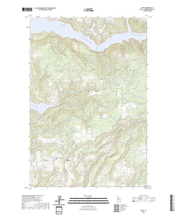
2024 Map of Dent
USGS Topo · Published 2024About this map
Dworshak Reservoir dominates the northern landscape of this Clearwater County region, where the North Fork Clearwater River winds through steep terrain. The settlement of Dent is situated near the reservoir's edge, connected by the prominent Dent Bridge Rd and historical routes like Old Dent Rd. This area reflects a history of high-elevation habitation and timber-related infrastructure, evidenced by the numerous logging and access roads such as Wells Bench Rd and Johnson Mill Rd.
Find a feature on this map
55 named features on this map. Tap any name to fly to it.
Don’t see what you’re looking for? This feature index may not catch every label — zoom into the map to look around manually.
Map Details
Editions of this 2024 Dent Map
This is the sole edition of this map. No revisions or reprints were ever made.
Other maps of this area

1924 · Kamiah
USGS Topo · 1:125,000

1955 · Pullman
USGS Topo · 1:250,000

1958 · Pullman
USGS Topo · 1:250,000

1961 · Ahsahka
USGS Topo · 1:62,500

1967 · Rudo
USGS Topo · 1:24,000

1967 · Orofino West
USGS Topo · 1:24,000

1967 · Orofino East
USGS Topo · 1:24,000

1969 · Elk Creek Falls
USGS Topo · 1:24,000
1969 · Grangemont
USGS Topo · 1:24,000
1969 · Dent
USGS Topo · 1:24,000