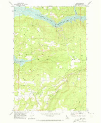
1969 Map of Dent
USGS Topo · Published 1973About this map
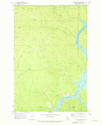
The North Fork Clearwater River and the rising waters of Dworshak Reservoir dominate this 1969 survey of the Idaho wilderness. The map documents a landscape in transition, where the reservoir shoreline begins to reshape the canyons once defined by Canyon Creek and Cranberry Creek. On the high ground, Wells Bench and Eureka Ridge provide a glimpse into the area's rural settlements and family history, including the Wells Cem and Weseman Cem. The Nez Perce Indian Reservation Boundary cuts through the southwestern portion of the sheet, marking a significant jurisdictional line near the small community of Dent. Evidence of local infrastructure is found in the various Gravel Pits and the Trailer Park located along the flats of Wells Bench.
Find a feature on this map
21 named features on this map. Tap any name to fly to it.
Don’t see what you’re looking for? This feature index may not catch every label — zoom into the map to look around manually.
Map Details
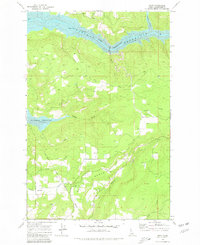
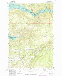
Editions of this 1969 Dent Map
Other maps of this area

1924 · Kamiah
USGS Topo · 1:125,000

1955 · Pullman
USGS Topo · 1:250,000

1958 · Pullman
USGS Topo · 1:250,000

1961 · Ahsahka
USGS Topo · 1:62,500

1967 · Rudo
USGS Topo · 1:24,000

1967 · Orofino West
USGS Topo · 1:24,000

1967 · Orofino East
USGS Topo · 1:24,000

1969 · Elk Creek Falls
USGS Topo · 1:24,000
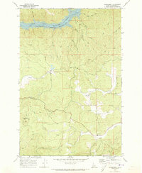
1969 · Grangemont
USGS Topo · 1:24,000
1969 · Little Green Mountain
USGS Topo · 1:24,000