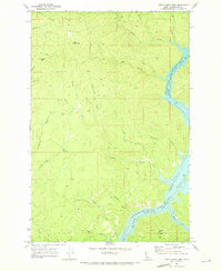
1969 Map of Little Green Mountain
USGS Topo · Published 1973About this map
The Dworshak Reservoir North Fork Clearwater River dominates the eastern edge of this 1969 field-checked survey, capturing the river corridor as the new reservoir began to shape the Clearwater County landscape. This drainage network is defined by numerous steep-descending tributaries including Weitas Creek, Falls Creek, and Reeds Creek. The map documents a rugged timber and mining environment, centered on prominent high points such as Little Green Mtn and Jericho Mtn.
Find a feature on this map
24 named features on this map. Tap any name to fly to it.
Don’t see what you’re looking for? This feature index may not catch every label — zoom into the map to look around manually.
Map Details
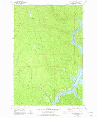
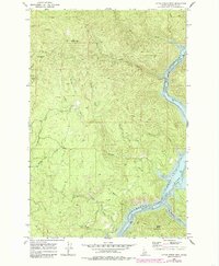
Editions of this 1969 Little Green Mountain Map
3 editions found
Other maps of this area

1923 · Washington Creek
USGS Topo · 1:125,000

1936 · Boehls Butte
USGS Topo · 1:48,000

1938 · Headquarters
USGS Topo · 1:48,000

1943 · Boehls Butte
USGS Topo · 1:62,500

1944 · Headquarters
USGS Topo · 1:62,500

1955 · Pullman
USGS Topo · 1:250,000

1956 · Hamilton
USGS Topo · 1:250,000

1958 · Pullman
USGS Topo · 1:250,000

1959 · Hamilton
USGS Topo · 1:250,000

1960 · Hamilton
USGS Topo · 1:250,000