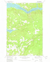
1969 Map of Dent
USGS Topo · Published 1980About this map
Wells Bench and Eureka Ridge dominate the landscape in this late 1960s survey, where high plateaus overlook the emerging Dworshak Reservoir. The map records a moment of transition as the North Fork Clearwater River valley began its transformation into a large-scale reservoir system. Scattered rural settlements like Dent, Reggear, and Morris are documented alongside specialized local nodes such as Best Corner. Genealogists will find notable value in the location of the Wells Cem and Weseman Cem, which sit near the Nez Perce Indian Reservation Boundary. The presence of several Gravel Pits and a Trailer Park near the reservoir's edge suggests the industrial and residential activity accompanying the massive hydrological changes of this era.
Find a feature on this map
24 named features on this map. Tap any name to fly to it.
Don’t see what you’re looking for? This feature index may not catch every label — zoom into the map to look around manually.
Map Details
Editions of this 1969 Dent Map
Other maps of this area

1924 · Kamiah
USGS Topo · 1:125,000

1955 · Pullman
USGS Topo · 1:250,000

1958 · Pullman
USGS Topo · 1:250,000

1961 · Ahsahka
USGS Topo · 1:62,500

1967 · Rudo
USGS Topo · 1:24,000

1967 · Orofino West
USGS Topo · 1:24,000

1967 · Orofino East
USGS Topo · 1:24,000

1969 · Elk Creek Falls
USGS Topo · 1:24,000
1969 · Grangemont
USGS Topo · 1:24,000
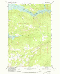
1969 · Dent
USGS Topo · 1:24,000