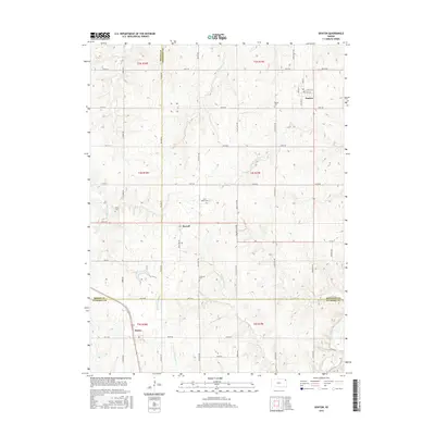
2015 Map of Denton
USGS Topo · Published 2015About this map
The town of Denton sits at the intersection of several regional boundaries, including where Brown and Doniphan counties meet. This survey captures a rural landscape defined by its grid of sectional roads and the headwaters of numerous local waterways. Settlement patterns follow the township lines, with the village of Purcell located centrally and Huron appearing to the southwest. The area is marked by several historical burial grounds, including Denton Cem, Saint Marys Cem, and Anderson Cem, which provide valuable location data for genealogists tracing local families. The drainage network is particularly dense here, featuring the S Fork Wolf River, Little Grasshopper Cr, and Independence Cr. These streams carve through the agricultural fields, dictating the placement of farmsteads and the orientation of smaller roads like Ash Point Rd and Black Jack Rd.
Find a feature on this map
58 named features on this map. Tap any name to fly to it.
Don’t see what you’re looking for? This feature index may not catch every label — zoom into the map to look around manually.
Map Details
Editions of this 2015 Denton Map
This is the sole edition of this map. No revisions or reprints were ever made.
Other maps of this area

1885 · Atchison
USGS Topo · 1:125,000

1888 · Atchison
USGS Topo · 1:125,000

1893 · Atchison
USGS Topo · 1:125,000

1926 · Atchison
USGS Topo · 1:62,500

1926 · Oregon
USGS Topo · 1:62,500

1950 · Kansas City
USGS Topo · 1:250,000

1954 · Kansas City
USGS Topo · 1:250,000

1956 · Kansas City
USGS Topo · 1:250,000
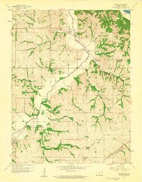
1959 · Sparks
USGS Topo · 1:24,000
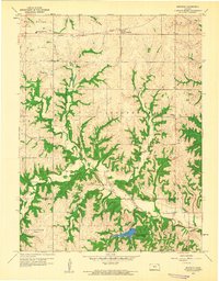
1959 · Bendena
USGS Topo · 1:24,000