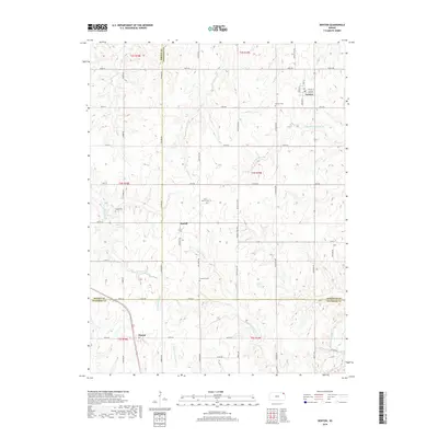
2018 Map of Denton
USGS Topo · Published 2018About this map
The agrarian communities of Denton, Purcell, and Huron anchor this survey of the rolling Northeast Kansas landscape. Situated at the junction of Brown, Doniphan, and Atchison counties, the area is defined by a dense grid of rural roads and the headwaters of several key drainage systems. Waterways like the S Fork Wolf River and Little Grasshopper Cr carve through the terrain, illustrating the natural watershed boundaries that have historically influenced property lines and farmstead placement in this region.
Find a feature on this map
58 named features on this map. Tap any name to fly to it.
Don’t see what you’re looking for? This feature index may not catch every label — zoom into the map to look around manually.
Map Details
Editions of this 2018 Denton Map
This is the sole edition of this map. No revisions or reprints were ever made.
Other maps of this area

1885 · Atchison
USGS Topo · 1:125,000

1888 · Atchison
USGS Topo · 1:125,000

1893 · Atchison
USGS Topo · 1:125,000

1926 · Atchison
USGS Topo · 1:62,500

1926 · Oregon
USGS Topo · 1:62,500

1950 · Kansas City
USGS Topo · 1:250,000

1954 · Kansas City
USGS Topo · 1:250,000

1956 · Kansas City
USGS Topo · 1:250,000
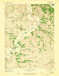
1959 · Sparks
USGS Topo · 1:24,000
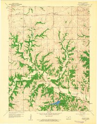
1959 · Bendena
USGS Topo · 1:24,000