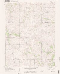
1961 Map of Denton
USGS Topo · Published 1962About this map
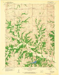
The agricultural landscape of northeast Kansas is defined by the convergence of three counties—Doniphan, Brown, and Atchison—during the early 1960s. Denton serves as a local hub at the junction of the Chicago Rock Island and Pacific railroad and regional roads, while the Missouri Pacific line tracks south through Purcell toward Huron. This survey illustrates a deeply rooted rural society, evidenced by the high density of small family or parish burial grounds such as Mister Cem, Anderson Cem, and St Marys Cem. The drainage patterns of the Wolf River and Independence Creek dictate the placement of local infrastructure, including the High Prairie School. The transition between the townships of Washington, Union, and Lancaster shows a mature section-line road network that supported the region's mid-century farming economy.
Find a feature on this map
25 named features on this map. Tap any name to fly to it.
Don’t see what you’re looking for? This feature index may not catch every label — zoom into the map to look around manually.
Map Details
Editions of this 1961 Denton Map
2 editions found
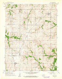
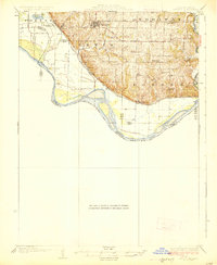
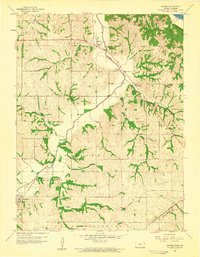
Other maps of this area

1885 · Atchison
USGS Topo · 1:125,000

1888 · Atchison
USGS Topo · 1:125,000

1893 · Atchison
USGS Topo · 1:125,000

1926 · Atchison
USGS Topo · 1:62,500
1926 · Oregon
USGS Topo · 1:62,500

1950 · Kansas City
USGS Topo · 1:250,000

1954 · Kansas City
USGS Topo · 1:250,000

1956 · Kansas City
USGS Topo · 1:250,000
1959 · Sparks
USGS Topo · 1:24,000
1959 · Bendena
USGS Topo · 1:24,000