
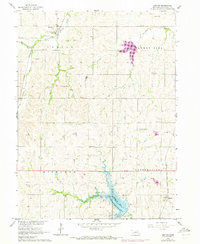
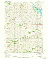
1964 Map of Denton
USGS Topo · Published 1965About this map
Denton stands as a primary hub in this mid-1960s survey of Lancaster County, positioned along the Chicago Burlington and Quincy railroad line. The landscape is defined by the drainage patterns of Haines Branch and its tributaries, including Cheese Creek and Cardwell Branch, which carve through the townships of Denton, Centerville, and Highland. The era’s focus on water management and recreation is evident in the presence of Yankee Hill Lake and the Bluestem State Recreation Area surrounding Bluestem Lake. Local history is preserved in small rural landmarks like Wesley Chapel and its associated Wesley Chapel Cem, along with the Highland Cem located further south. In the southeastern corner, the village of Martell sits along the Chicago Rock Island and Pacific tracks, illustrating the importance of rail corridors to the regional economy and small-town placement.
Find a feature on this map
23 named features on this map. Tap any name to fly to it.
Don’t see what you’re looking for? This feature index may not catch every label — zoom into the map to look around manually.
Map Details
Editions of this 1964 Denton Map
2 editions found
Other maps of this area

1897 · Lincoln
USGS Topo · 1:125,000

1955 · Lincoln
USGS Topo · 1:250,000

1957 · Lincoln
USGS Topo · 1:250,000

1958 · Lincoln
USGS Topo · 1:250,000

1964 · Cortland
USGS Topo · 1:24,000
1964 · Hallam
USGS Topo · 1:24,000
1964 · Crete South
USGS Topo · 1:24,000
1964 · Crete North
USGS Topo · 1:24,000

1964 · Roca
USGS Topo · 1:24,000
1964 · Pleasant Dale
USGS Topo · 1:24,000