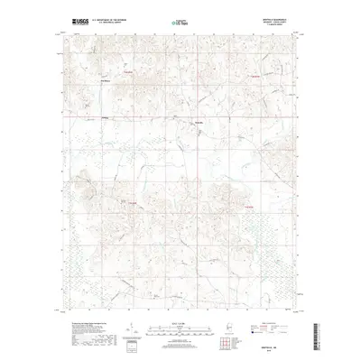
2018 Map of Dentville
USGS Topo · Published 2018About this map
Bayou Pierre meanders through the heart of this Copiah County landscape, defining the topography of a region marked by small rural communities and family burial grounds. The settlement of Dentville sits near the junction of Dentville Rd and Carter Hill Rd, serving as a central point between the smaller locales of Willing and Hoodtown. A distinct pattern of local history is preserved in the numerous cemeteries scattered across the terrain, including Mount Zion Cem and Pine Bluff Cem near the banks of Sugar Cr. The map details a complex network of watercourses like Boggy Bayou and Turkey Creek, which drain the ridges and hollows. For genealogists, the placement of sites such as Mount Hope Cem and Flower Hill Cem alongside named local routes like Colonel Neill Rd provides specific geographic context for tracing family roots in this part of Mississippi.
Find a feature on this map
57 named features on this map. Tap any name to fly to it.
Don’t see what you’re looking for? This feature index may not catch every label — zoom into the map to look around manually.
Map Details
Editions of this 2018 Dentville Map
This is the sole edition of this map. No revisions or reprints were ever made.
Other maps of this area

1903 · Jackson
USGS Topo · 1:125,000

1937 · Terry
USGS Topo · 1:48,000

1943 · Terry
USGS Topo · 1:62,500

1953 · Natchez
USGS Topo · 1:250,000

1955 · Jackson
USGS Topo · 1:250,000

1956 · Natchez
USGS Topo · 1:250,000

1959 · Natchez
USGS Topo · 1:250,000

1961 · Jackson
USGS Topo · 1:250,000

1962 · Jackson
USGS Topo · 1:250,000

1962 · Utica West
USGS Topo · 1:24,000