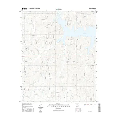
2016 Map of Denver
USGS Topo · Published 2016About this map
Lake Thunderbird dominates the landscape of Cleveland County in this detailed survey, its branching fingers reaching into the surrounding terrain formed by the Little River. The settlement of Denver sits prominently along its northern shores, supported by established rural infrastructure and local landmarks like the Denver Cem and Falls Cem. Further south, the community of Maguire marks the transition toward the drainage basins of Chouteau Cr and Dripping Springs Cr. The area is characterized by its network of named creeks, including Dave Blue Cr and Jim Blue Cr, which underscore the intricate hydrology of the region. Local high points such as Ft Hill provide topographic variety, while scattered burial grounds like Independence Cem and Fairview Cem offer specific points of interest for those researching the genealogy and local history of this Oklahoma county.
Find a feature on this map
63 named features on this map. Tap any name to fly to it.
Don’t see what you’re looking for? This feature index may not catch every label — zoom into the map to look around manually.
Map Details
Editions of this 2016 Denver Map
This is the sole edition of this map. No revisions or reprints were ever made.
Other maps of this area

1892 · Moore
USGS Topo · 1:62,500

1893 · Norman
USGS Topo · 1:62,500

1898 · Purcell
USGS Topo · 1:125,000

1910 · McComb
USGS Topo · 1:62,500

1925 · Norman NO 2
USGS Topo · 1:24,000

1930 · McLoud
USGS Topo · 1:62,500

1934 · Moore
USGS Topo · 1:62,500

1936 · Norman
USGS Topo · 1:62,500

1938 · Moore
USGS Topo · 1:62,500

1954 · Oklahoma City
USGS Topo · 1:250,000