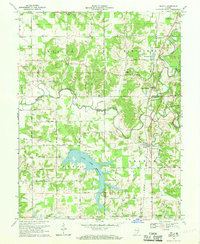
1968 Map of Deputy
USGS Topo · Published 1970About this map
Deputy serves as a central hub on this Indiana landscape, situated where the Baltimore and Ohio railroad corridor cuts through the drainages of the Muscatatuck River and Big Creek. The late 1960s survey captures a rural environment defined by small agricultural settlements and a network of country churches, including Alpha Ch and Bethany Ch, and localized burying grounds such as Robertson Cem and Keith Cem.
Find a feature on this map
39 named features on this map. Tap any name to fly to it.
Don’t see what you’re looking for? This feature index may not catch every label — zoom into the map to look around manually.
Map Details
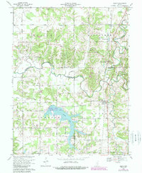
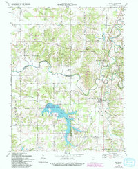
Editions of this 1968 Deputy Map
3 editions found
Other maps of this area

1947 · Scottsburg
USGS Topo · 1:24,000

1956 · Volga
USGS Topo · 1:24,000

1956 · Blocher
USGS Topo · 1:24,000

1956 · Kent
USGS Topo · 1:24,000

1956 · Deputy
USGS Topo · 1:24,000

1956 · Louisville
USGS Topo · 1:250,000
1959 · Vernon
USGS Topo · 1:24,000
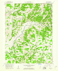
1959 · Hayden
USGS Topo · 1:24,000

1959 · Crothersville
USGS Topo · 1:24,000
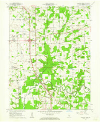
1959 · Chestnut Ridge
USGS Topo · 1:24,000