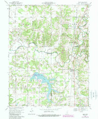
1968 Map of Deputy
USGS Topo · Published 1988About this map
Hardy Lake and the surrounding Hardy Lake State Recreation Area dominate the southern landscape of this 1960s survey, illustrating the significant hydrological development where Scott, Jennings, and Jefferson Counties converge. The Muscatatuck River meanders across the central terrain, its winding path punctuated by a Gaging Station and several significant tributaries including Coffee Creek and Quick Creek. This area shows a transition from traditional rural settlements toward recreational land use while maintaining its core agricultural and railway foundations.
Find a feature on this map
46 named features on this map. Tap any name to fly to it.
Don’t see what you’re looking for? This feature index may not catch every label — zoom into the map to look around manually.
Map Details
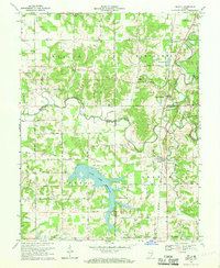
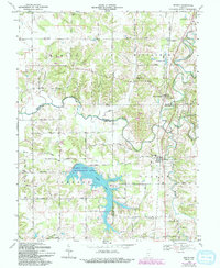
Editions of this 1968 Deputy Map
3 editions found
Other maps of this area

1947 · Scottsburg
USGS Topo · 1:24,000

1956 · Volga
USGS Topo · 1:24,000

1956 · Blocher
USGS Topo · 1:24,000

1956 · Kent
USGS Topo · 1:24,000

1956 · Deputy
USGS Topo · 1:24,000

1956 · Louisville
USGS Topo · 1:250,000
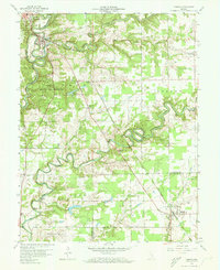
1959 · Vernon
USGS Topo · 1:24,000
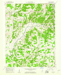
1959 · Hayden
USGS Topo · 1:24,000

1959 · Crothersville
USGS Topo · 1:24,000
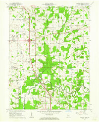
1959 · Chestnut Ridge
USGS Topo · 1:24,000