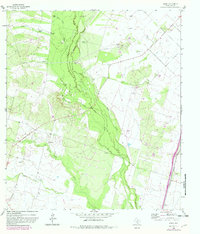
1964 Map of Derby
USGS Topo · Published 1982About this map
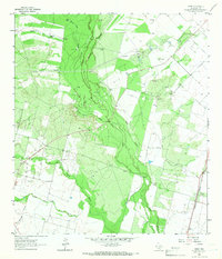
The settlement of Derby sits at the intersection of water and rail in southern Frio County, where the Missouri Pacific railroad parallels the historic path of Route 81. This South Texas landscape is defined by the convergence of several major watercourses, including the Frio River, the Leona River, and Todos Santos Creek. The prevalence of water sources is further evidenced by a high density of windmills, many bearing family or descriptive names like Honeymoon Windmill, Jesse Windmill, and Zartuche Windmill, indicating a ranching economy reliant on groundwater extraction in the mid-20th century.
Find a feature on this map
32 named features on this map. Tap any name to fly to it.
Don’t see what you’re looking for? This feature index may not catch every label — zoom into the map to look around manually.
Map Details
Editions of this 1964 Derby Map
2 editions found
Other maps of this area

1925 · Pearsall 1-b
USGS Topo · 1:48,000

1925 · Pearsall 1-c
USGS Topo · 1:48,000

1927 · Pearsall
USGS Topo · 1:62,500

1942 · Divot
USGS Topo · 1:62,500

1942 · Dilley
USGS Topo · 1:62,500

1953 · Crystal City
USGS Topo · 1:250,000

1955 · Crystal City
USGS Topo · 1:250,000

1956 · Woodward
USGS Topo · 1:62,500

1956 · Divot
USGS Topo · 1:62,500

1961 · Crystal City
USGS Topo · 1:250,000