2022 Map of Derby
USGS Topo · Published 2022About this map
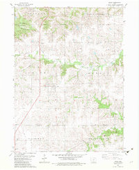
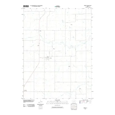
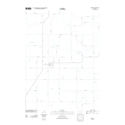
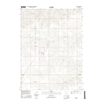
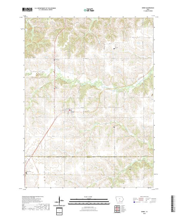
Derby serves as the central settlement in this portion of Southern Iowa, where the rolling watershed of the Chariton River dictates the local geography. The area's history is deeply etched into the landscape through its many family and community burial grounds, including the Gay-Plymate Cem, Fisher-Webb Cem, and Goshen Cem. A significant modern transformation of former rail infrastructure is evident in the Cinder Path Trl, which now winds through the terrain alongside historical routes like the Morman Trl. Numerous waterways, such as Fivemile Cr, Hamilton Cr, and Wolf Cr, carve through the townships, while the boundary between Lucas Co and Wayne Co runs along Watrous Ave in the southern portion of the survey.
Find a feature on this map
41 named features on this map. Tap any name to fly to it.
Don’t see what you’re looking for? This feature index may not catch every label — zoom into the map to look around manually.
Map Details
Editions of this 2022 Derby Map
This is the sole edition of this map. No revisions or reprints were ever made.
Historical Maps of Derby Through Time
6 maps found