
1893 Map of Derby
USGS Topo · Published 1898About this map
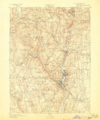
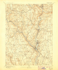
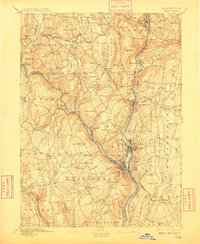
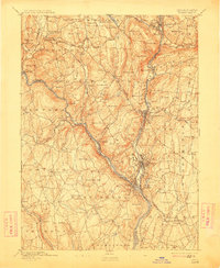
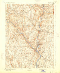
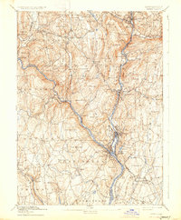
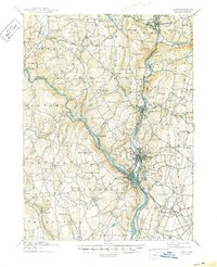
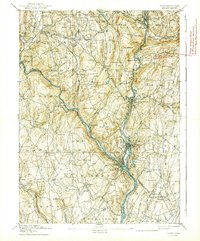
The confluence of the Housatonic River and the Naugatuck River serves as the industrial and population hub for this late 19th-century survey. Heavy development is concentrated in the riverside boroughs of Birmingham, Ansonia, Shelton, and Derby, where the Naugatuck Division and New Haven and Derby Railroad converge. This transport network highlights the region's importance as a manufacturing corridor long before modern highway expansion transformed the local landscape.
Find a feature on this map
105 named features on this map. Tap any name to fly to it.
Don’t see what you’re looking for? This feature index may not catch every label — zoom into the map to look around manually.
Map Details
Editions of this 1893 Derby Map
9 editions found
Other maps of this area

1889 · Derby
USGS Topo · 1:62,500

1891 · Bridgeport
USGS Topo · 1:62,500

1891 · Derby
USGS Topo · 1:62,500

1892 · New Haven
USGS Topo · 1:62,500

1892 · Danbury
USGS Topo · 1:62,500

1892 · New Milford
USGS Topo · 1:62,500

1892 · Norwalk
USGS Topo · 1:62,500

1892 · Meriden
USGS Topo · 1:62,500

1893 · Bridgeport
USGS Topo · 1:62,500

1893 · Norwalk
USGS Topo · 1:62,500