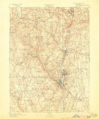
1893 Map of Derby
USGS Topo · Published 1903About this map
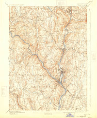
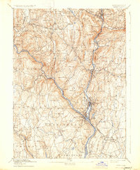
The confluence of the Housatonic River and Naugatuck River anchors this late 19th-century survey, revealing a dense industrial and rail corridor centered on Derby, Ansonia, and Birmingham. The landscape transitions from the river-valley manufacturing centers to the agricultural uplands of Oxford and Southbury. The transportation network is remarkably detailed, showing the New York New Haven And Hartford Railroad following the river valleys, while historic crossing points like Zoar Bridge and Pines Bridge connect the disparate townships. High ground is punctuated by family-named landmarks such as John Johnson Hill, Preston Hill, and Hopkins Hill, offering a clear view of the land division before the expansion of modern suburbs. The map also captures several recreational and small-scale community sites, including High Rock Grove and the settlement at Quaker Farms, reflecting the era's mix of industry and local commerce.
Find a feature on this map
113 named features on this map. Tap any name to fly to it.
Don’t see what you’re looking for? This feature index may not catch every label — zoom into the map to look around manually.
Map Details
Editions of this 1893 Derby Map
9 editions found

Other maps of this area

1889 · Derby
USGS Topo · 1:62,500

1891 · Bridgeport
USGS Topo · 1:62,500

1891 · Derby
USGS Topo · 1:62,500

1892 · New Haven
USGS Topo · 1:62,500

1892 · Danbury
USGS Topo · 1:62,500

1892 · New Milford
USGS Topo · 1:62,500

1892 · Norwalk
USGS Topo · 1:62,500

1892 · Meriden
USGS Topo · 1:62,500

1893 · Bridgeport
USGS Topo · 1:62,500

1893 · Norwalk
USGS Topo · 1:62,500