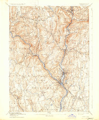
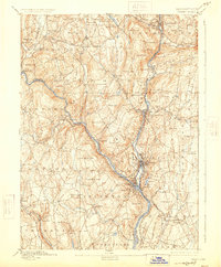
1893 Map of Derby
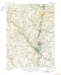
USGS Topo · Published 1933About this map
Industrial and riverside settlements dominate the valleys where the Housatonic River and Naugatuck River converge. At this late nineteenth-century moment, the urban centers of Birmingham, Derby, Ansonia, and Shelton show dense development driven by the proximity of the Naugatuck Division N. Y. N. H. and H. Railroad. Away from the river corridors, the landscape rises into numerous named heights such as Rockhouse Hill and Mt. Pisgah, where smaller hamlets like Quaker Farms and Southford maintain a more dispersed character.
Find a feature on this map
98 named features on this map. Tap any name to fly to it.
Don’t see what you’re looking for? This feature index may not catch every label — zoom into the map to look around manually.
Map Details
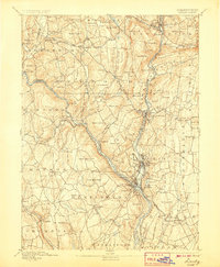
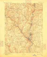
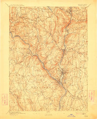
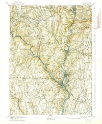
Editions of this 1893 Derby Map
9 editions found


Other maps of this area

1889 · Derby
USGS Topo · 1:62,500

1891 · Bridgeport
USGS Topo · 1:62,500

1891 · Derby
USGS Topo · 1:62,500

1892 · New Haven
USGS Topo · 1:62,500

1892 · Danbury
USGS Topo · 1:62,500

1892 · New Milford
USGS Topo · 1:62,500

1892 · Norwalk
USGS Topo · 1:62,500

1892 · Meriden
USGS Topo · 1:62,500

1893 · Bridgeport
USGS Topo · 1:62,500

1893 · Norwalk
USGS Topo · 1:62,500