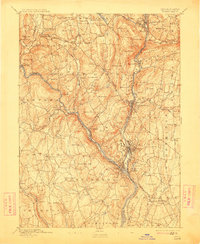
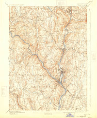
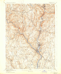
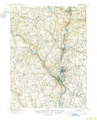
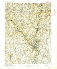
1893 Map of Derby
USGS Topo · Published 1912About this map
The Housatonic River and Naugatuck River converge at the heart of this late-19th-century survey, defining a region of early industrial growth and established village life. The concentration of development in Birmingham, Derby, Ansonia, and Shelton illustrates the era's reliance on river power and rail connectivity. The Naugatuck Division New Haven and Derby Railroad and the New York and New England Railroad are shown threading through the landscape, linking the valley floor with upland interior settlements.
Find a feature on this map
98 named features on this map. Tap any name to fly to it.
Don’t see what you’re looking for? This feature index may not catch every label — zoom into the map to look around manually.
Map Details
Editions of this 1893 Derby Map
9 editions found

Other maps of this area

1889 · Derby
USGS Topo · 1:62,500

1891 · Bridgeport
USGS Topo · 1:62,500

1891 · Derby
USGS Topo · 1:62,500

1892 · New Haven
USGS Topo · 1:62,500

1892 · Danbury
USGS Topo · 1:62,500

1892 · New Milford
USGS Topo · 1:62,500

1892 · Norwalk
USGS Topo · 1:62,500

1892 · Meriden
USGS Topo · 1:62,500

1893 · Bridgeport
USGS Topo · 1:62,500

1893 · Norwalk
USGS Topo · 1:62,500