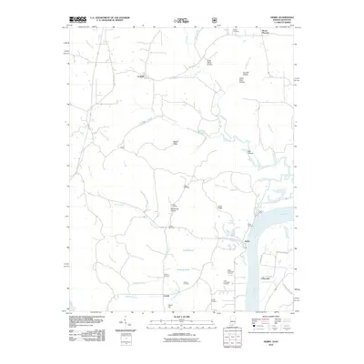
2010 Map of Derby
USGS Topo · Published 2010About this map
Leopold and Mount Pleasant anchor the northern uplands of this Indiana terrain, where the landscape is defined by the winding course of Oil Creek and its many tributaries. Near the southern border, the settlement of Derby sits along the Ohio River, serving as a focal point for a region marked by numerous family and community burial grounds. The distribution of sites like Talley Cemetery, Phelps Cemetery, and the Upper Cummings Cemetery suggests a deeply rooted rural population dispersed among the ridges and hollows.
Find a feature on this map
45 named features on this map. Tap any name to fly to it.
Don’t see what you’re looking for? This feature index may not catch every label — zoom into the map to look around manually.
Map Details
Editions of this 2010 Derby Map
This is the sole edition of this map. No revisions or reprints were ever made.
Other maps of this area

1928 · Hardinsburg
USGS Topo · 1:48,000

1931 · Hardinsburg
USGS Topo · 1:62,500

1934 · Cannelton
USGS Topo · 1:62,500

1947 · Lodiburg
USGS Topo · 1:24,000

1947 · Hardinsburg
USGS Topo · 1:62,500

1949 · Cannelton
USGS Topo · 1:24,000

1950 · Beechwood
USGS Topo · 1:24,000

1950 · Alton
USGS Topo · 1:62,500

1950 · Alton
USGS Topo · 1:24,000

1951 · Alton
USGS Topo · 1:24,000