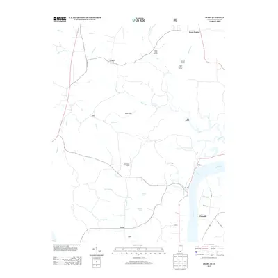
2013 Map of Derby
USGS Topo · Published 2013About this map
The Ohio River frontage defines the eastern edge of this landscape, where the settlement of Derby sits near the mouth of Knob Cr. The terrain inland is marked by a complex network of ridges and drainages, including Mogan Ridge and Kuntz Ridge, which separate various hollows such as Sugar Camp Hollow and Rockhouse Hollow. Small rural communities and named crossroads are scattered throughout the interior, with Leopold positioned in the north, Gerald to the south, and Chenault located along the riverbank downstream from Derby.
Find a feature on this map
41 named features on this map. Tap any name to fly to it.
Don’t see what you’re looking for? This feature index may not catch every label — zoom into the map to look around manually.
Map Details
Editions of this 2013 Derby Map
This is the sole edition of this map. No revisions or reprints were ever made.
Other maps of this area

1928 · Hardinsburg
USGS Topo · 1:48,000

1931 · Hardinsburg
USGS Topo · 1:62,500

1934 · Cannelton
USGS Topo · 1:62,500

1947 · Lodiburg
USGS Topo · 1:24,000

1947 · Hardinsburg
USGS Topo · 1:62,500

1949 · Cannelton
USGS Topo · 1:24,000

1950 · Beechwood
USGS Topo · 1:24,000

1950 · Alton
USGS Topo · 1:62,500

1950 · Alton
USGS Topo · 1:24,000

1951 · Alton
USGS Topo · 1:24,000