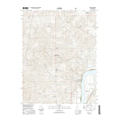
2016 Map of Derby
USGS Topo · Published 2016About this map
The Ohio River forms the eastern boundary of this Perry County landscape, where the riverside settlement of Derby sits tucked against the bend. Inland, the terrain is defined by the deep reaches of the Hoosier National Forest, characterized by numerous hollows like Sugar Camp Hollow and Rockhouse Hollow. The map reveals a high concentration of family and community burial grounds, including Horton Cem, Talley Cem, Phelps Cem, and Gilliland Cem, providing a detailed record for genealogical research in this rural pocket of Indiana.
Find a feature on this map
73 named features on this map. Tap any name to fly to it.
Don’t see what you’re looking for? This feature index may not catch every label — zoom into the map to look around manually.
Map Details
Editions of this 2016 Derby Map
This is the sole edition of this map. No revisions or reprints were ever made.
Other maps of this area

1928 · Hardinsburg
USGS Topo · 1:48,000

1931 · Hardinsburg
USGS Topo · 1:62,500

1934 · Cannelton
USGS Topo · 1:62,500

1947 · Lodiburg
USGS Topo · 1:24,000

1947 · Hardinsburg
USGS Topo · 1:62,500

1949 · Cannelton
USGS Topo · 1:24,000

1950 · Beechwood
USGS Topo · 1:24,000

1950 · Alton
USGS Topo · 1:62,500

1950 · Alton
USGS Topo · 1:24,000

1951 · Alton
USGS Topo · 1:24,000