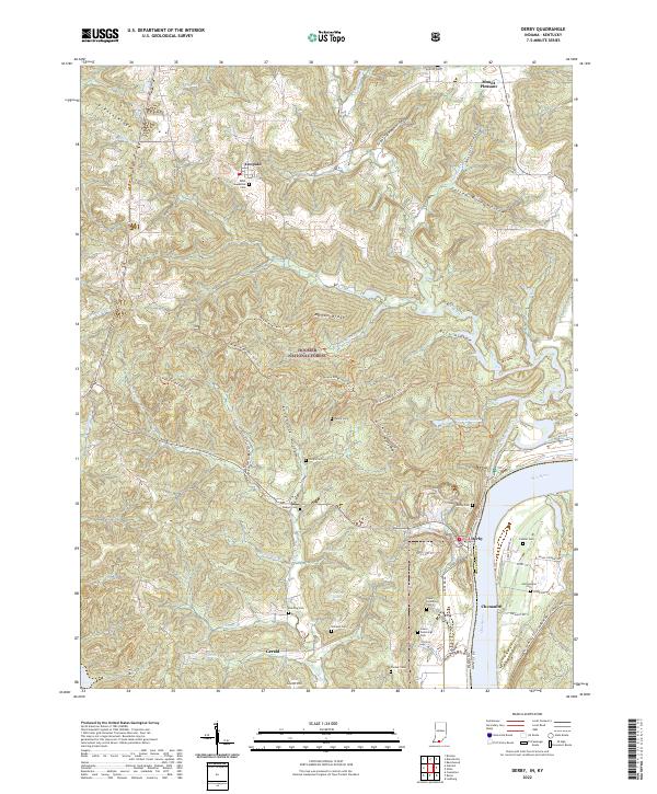
2022 Map of Derby
USGS Topo · Published 2022About this map
Leopold and Derby anchor this detailed study of the riverine and forest landscape along the Ohio River border between Indiana and Kentucky. The terrain is defined by the heavy timber of the Hoosier National Forest, where a network of ridgeline trails like Mogan Ridge West Trail 1 and Kuntz Ridge navigate the steep drainages of Oil Creek and Clover Lick Creek. Genealogists will find a high density of rural burial sites, including the Saint Augustine Cem in Leopold, the Harding Cem, and the pair of Upper Cummings and Lower Cummings cemeteries near the river. The map also captures small settlements like Chenaultt and Gerald, alongside numerous family-named landmarks such as Shircliff Hollow and Fallen Rock Hollow, reflecting the deep-rooted local history of Perry County.
Find a feature on this map
80 named features on this map. Tap any name to fly to it.
Don’t see what you’re looking for? This feature index may not catch every label — zoom into the map to look around manually.
Map Details
Editions of this 2022 Derby Map
This is the sole edition of this map. No revisions or reprints were ever made.
Other maps of this area

1928 · Hardinsburg
USGS Topo · 1:48,000

1931 · Hardinsburg
USGS Topo · 1:62,500

1934 · Cannelton
USGS Topo · 1:62,500

1947 · Lodiburg
USGS Topo · 1:24,000

1947 · Hardinsburg
USGS Topo · 1:62,500

1949 · Cannelton
USGS Topo · 1:24,000

1950 · Beechwood
USGS Topo · 1:24,000

1950 · Alton
USGS Topo · 1:62,500

1950 · Alton
USGS Topo · 1:24,000

1951 · Alton
USGS Topo · 1:24,000