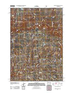
2011 Map of Derr Meadows
USGS Topo · Published 2011About this map
Camp Watson Cemetery sits on a high ridge overlooking the high desert drainage of Fort Creek and Whisky Creek in this part of Crook County. The landscape is defined by its water sources and historical camps, from the seasonal Derr Camp situated near the center of the sheet to the remote Happy Jack Camp on the western edge. A complex network of backcountry routes, including the Old Military Rd, Summit Rd, and Buck Point Rd, connect isolated points such as Buck Point and Double Corral. The map documents a rugged high-altitude environment where numerous springs, including Fry Spring, Barnhouse Spring, and Alder Spring, supported livestock and transit across the vast drainage basins of Jackson Creek and West Thornton Creek.
Find a feature on this map
34 named features on this map. Tap any name to fly to it.
Don’t see what you’re looking for? This feature index may not catch every label — zoom into the map to look around manually.
Map Details
Editions of this 2011 Derr Meadows Map
This is the sole edition of this map. No revisions or reprints were ever made.
Other maps of this area

1926 · Mitchell
USGS Topo · 1:125,000

1932 · Dayville
USGS Topo · 1:125,000

1936 · Dayville
USGS Topo · 1:125,000

1953 · Richmond
USGS Topo · 1:62,500

1955 · Bend
USGS Topo · 1:250,000

1955 · Canyon City
USGS Topo · 1:250,000

1957 · Bend
USGS Topo · 1:250,000

1958 · Bend
USGS Topo · 1:250,000

1959 · Canyon City
USGS Topo · 1:250,000

1966 · Keys Creek
USGS Topo · 1:24,000