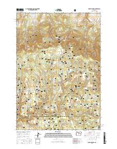
2017 Map of Derr Meadows
USGS Topo · Published 2017About this map
Ochoco National Forest defines the high-country landscape of this 2017 survey, where a complex network of seasonal creeks and springs supports a history of ranching and early military movement. The presence of the Old Military Rd cutting through the southern half of the map provides a tangible link to frontier-era transportation corridors. These high-elevation grazing lands are punctuated by distinct geographic landmarks such as Buck Point and Camp Watson Point, overlooking a series of openings in the timber including Derr Meadows, Toggle Meadows, and Dicer Meadow.
Find a feature on this map
61 named features on this map. Tap any name to fly to it.
Don’t see what you’re looking for? This feature index may not catch every label — zoom into the map to look around manually.
Map Details
Editions of this 2017 Derr Meadows Map
This is the sole edition of this map. No revisions or reprints were ever made.
Other maps of this area

1926 · Mitchell
USGS Topo · 1:125,000

1932 · Dayville
USGS Topo · 1:125,000

1936 · Dayville
USGS Topo · 1:125,000

1953 · Richmond
USGS Topo · 1:62,500

1955 · Bend
USGS Topo · 1:250,000

1955 · Canyon City
USGS Topo · 1:250,000

1957 · Bend
USGS Topo · 1:250,000

1958 · Bend
USGS Topo · 1:250,000

1959 · Canyon City
USGS Topo · 1:250,000

1966 · Keys Creek
USGS Topo · 1:24,000