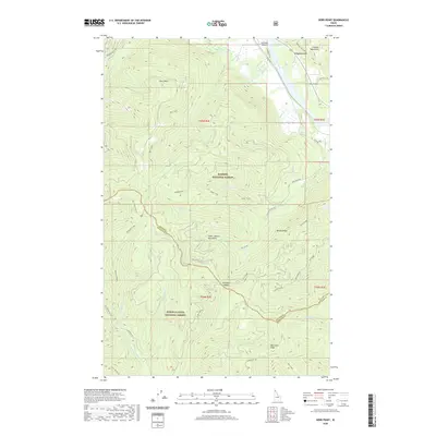
2020 Map of Derr Point
USGS Topo · Published 2020About this map
The Clark Fork river carves through the northern reaches of this Idaho landscape, where the Cabinet Mountains rise sharply above the water. This mountainous terrain is shared between the Kaniksu National Forest and the Coeur d'Alene National Forest, with a distinct county line separating Bonner Co and Shoshone Co. Local aviation is represented by Riverlake Airport and Tuke Airport, serving as remote outposts in a region dominated by high ridges and deep drainages.
Find a feature on this map
44 named features on this map. Tap any name to fly to it.
Don’t see what you’re looking for? This feature index may not catch every label — zoom into the map to look around manually.
Map Details
Editions of this 2020 Derr Point Map
This is the sole edition of this map. No revisions or reprints were ever made.
Other maps of this area

1909 · Cataldo
USGS Topo · 1:125,000

1911 · Cataldo
USGS Topo · 1:125,000

1911 · Priest Lake
USGS Topo · 1:250,000

1913 · Priest Lake
USGS Topo · 1:250,000

1949 · Packsaddle Mtn
USGS Topo · 1:62,500

1951 · Packsaddle Mtn
USGS Topo · 1:62,500

1951 · Clark Fork
USGS Topo · 1:62,500

1955 · Spokane
USGS Topo · 1:250,000

1958 · Spokane
USGS Topo · 1:250,000

1958 · Sandpoint
USGS Topo · 1:250,000