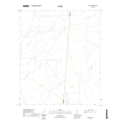
2019 Map of Derrick Draw
USGS Topo · Published 2019About this map
Virginia Draw and Maverick Draw define the drainage of this arid landscape where the Culberson Co Reeves Co boundary line cuts north-south across the high plains. Water is the primary driver of infrastructure here, centered on rare sources like Virginia Springs and Salt Spring. The map documents a classic West Texas pattern of ranching and land management, where cattle tanks such as Maverick Tank and Cox Tank are critical markers in an otherwise open expanse. Transportation is limited to a few arterial routes like FM 2119 and Ranch Rd 2119, providing access to the S Marsh Field area. The presence of Salt Cr and Incline Draw further illustrates the complex watershed system that shapes the local topography and historical land use.
Find a feature on this map
14 named features on this map. Tap any name to fly to it.
Don’t see what you’re looking for? This feature index may not catch every label — zoom into the map to look around manually.
Map Details
Editions of this 2019 Derrick Draw Map
This is the sole edition of this map. No revisions or reprints were ever made.
Other maps of this area

1931 · Orla
USGS Topo · 1:62,500

1954 · Van Horn
USGS Topo · 1:250,000

1954 · Pecos
USGS Topo · 1:250,000

1957 · Pecos
USGS Topo · 1:250,000

1958 · Van Horn
USGS Topo · 1:250,000

1968 · Threemile Draw
USGS Topo · 1:24,000

1968 · Orla
USGS Topo · 1:24,000

1968 · W T Ranch
USGS Topo · 1:24,000

1973 · Rustler Hills
USGS Topo · 1:24,000

1973 · Screw Bean Draw West
USGS Topo · 1:24,000